
Jersey City ZIP Codes and Postal Coverage
Jersey City is served by several delivery designations that should be checked address by address. The working inventory below comes from the city ZIP map, local postal references, and USPS bulletin context. Its neighborhood descriptions are research aids only. USPS, rather than a map label, controls the current delivery assignment for a particular street address.
| ZIP | Areas Covered | Post Office | Notes |
|---|---|---|---|
| 07302 | Downtown and waterfront postal zone; principal central delivery area | USPS delivery zone | Not a neighborhood boundary |
| 07303 | Special or PO Box-style designation in local references | Verify with USPS | Current type and scope not located in official source |
| 07304 | Bergen-Lafayette and west-central address research | USPS delivery zone | Check the individual address |
| 07305 | Southern and Greenville-area postal research | USPS delivery zone | Does not define a neighborhood or island |
| 07306 | Central and Journal Square-area postal research | USPS delivery zone | Street-level verification required |
| 07307 | Heights and northern Jersey City postal research | USPS delivery zone | ZIP does not define Heights boundaries |
| 07308 | Special designation in historical or local ZIP references | Verify with USPS | Current type and scope not located in official source |
| 07309 | General Lafayette designation in a 2008 postal notice | USPS bulletin context | Station was discontinued while the ZIP was retained |
| 07310 | Newport and waterfront-area postal research | USPS delivery zone | Postal geography only |
| 07311 | Jersey City designation in the 2017 realignment notice | USPS bulletin context | Use current USPS address lookup |
| 07395 | Special designation in local ZIP lists | Verify with USPS | Current scope not located in official source |
| 07399 | Special designation in historical realignment material | USPS bulletin context | Current delivery type and scope not located in official source |
The official Jersey City ZIP map is the local visual layer behind this inventory. It helps a reader orient an address within the city, but the map is not an occupancy register and should not replace the USPS result for a mailing address.
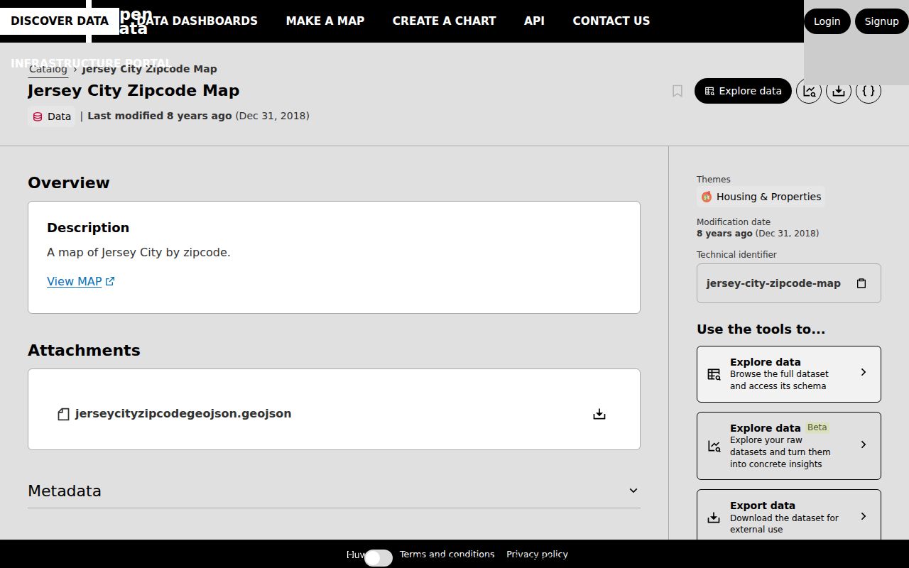
The mapped labels give useful city-facing context, while the caution in every row keeps a broad postal zone from becoming a claim about a particular block or recipient.
Jersey City Postal Delivery Geography
A ZIP code is a postal delivery designation, not a municipal, ward, neighborhood, parcel, census, or identity boundary. Jersey City includes well-known local labels such as Downtown, Greenville, the Heights, Journal Square, Bergen-Lafayette, India Square, and West Side, but those labels do not all line up with delivery zones. A postal result can confirm that an address is formatted for a Jersey City delivery route. It cannot confirm who receives mail there or who lives there.
This is the central limitation when a postal directory is used as a research aid. Keep the ZIP in its own field next to municipality, ward, county, block/lot, and census geography. Each field comes from a different system and answers a different question. A city ZIP label may help choose a next source, but it cannot establish neighborhood membership, voting district, parcel identity, or present residence.
Jersey City ZIP Code Map and USPS Roles
The city map and USPS work together but do not do the same job. The map provides a local visual reference. USPS ZIP Lookup accepts either street, city, and state or city and state, and it is the current address-formatting authority. Start with the whole address when it is known. A city-and-state lookup can provide a broader ZIP lead, then the street-level check should settle the delivery format.
USPS explicitly warns that a ZIP result does not confirm a person or company at an address, so retain it as postal formatting evidence only.
The USPS City State Product is a monthly updated ZIP, city, county, and post-office reference product. It is helpful for keeping a postal zone distinct from a locally used place name.
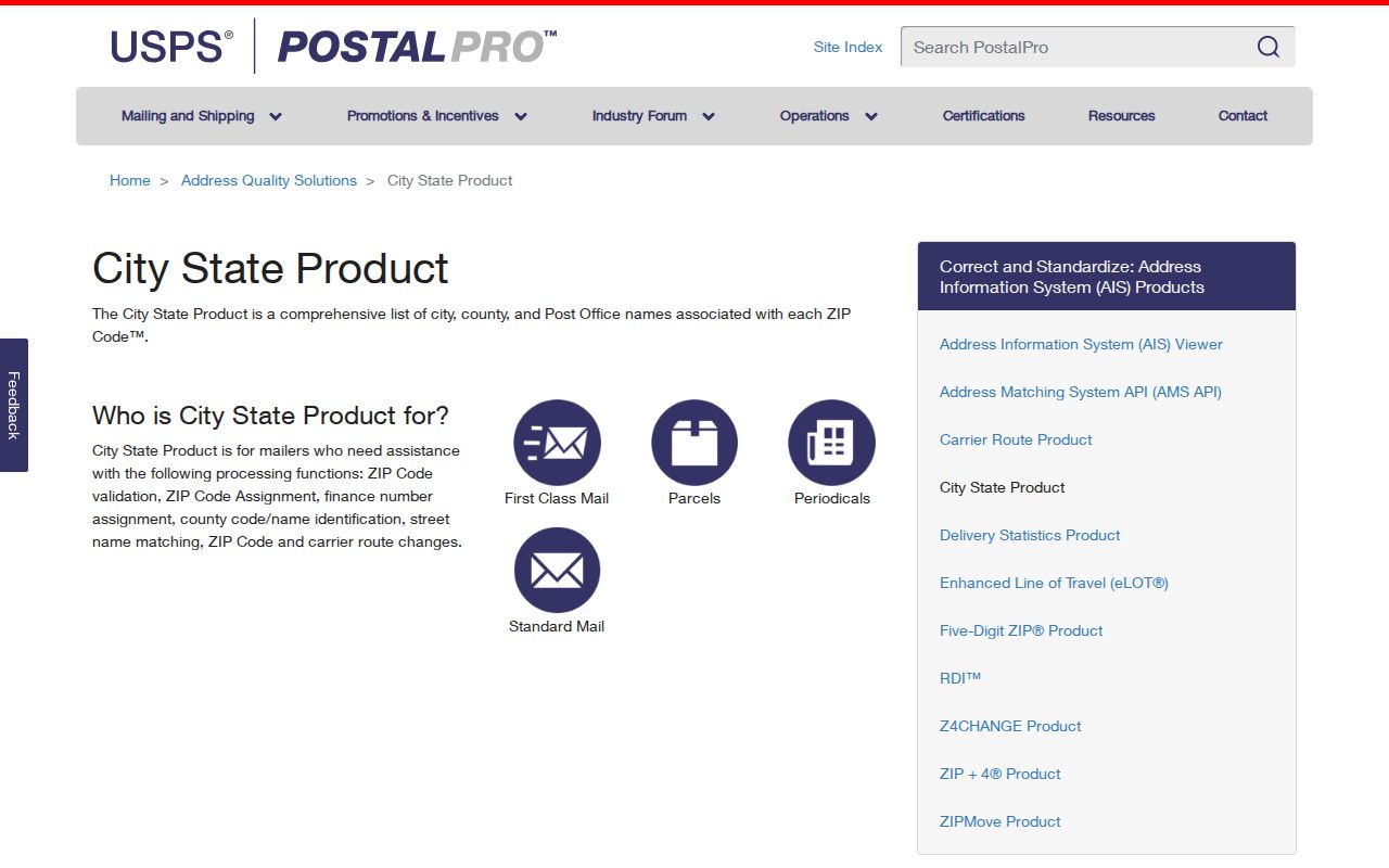
Because the product is postal reference data, a current street-level USPS lookup remains the verification step when a local map and a city label appear to disagree.
Jersey City ZIP Code Postal Changes
Historical postal bulletins are useful records of change, not a current boundary atlas. A 2008 USPS Postal Bulletin documented discontinuation of the 07309 General Lafayette station while retaining the ZIP. A 2017 bulletin recorded Jersey City changes in which 07303, 07310, 07311, and 07399 were re-labeled from 07302 to 07310 in the listed postal context, and 07306 through 07308 were re-labeled from 07304 to 07306.
Use the 2017 USPS realignment notice as dated context, then check current delivery information before sending mail or describing a present address. This distinction prevents a historical bulletin from being misread as an active street assignment.
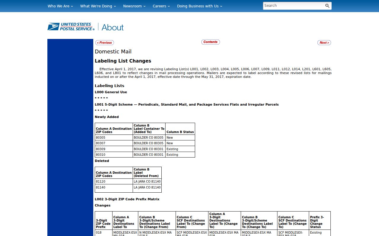
The bulletin shows why a ZIP citation needs its own date: delivery labels can change independently of the city's neighborhood names and municipal records.
Finding Residents by a Jersey City ZIP Code
A ZIP can narrow an address question, but it is not a person-search field in the sources reviewed for Jersey City. Begin by confirming the street, city, and state with USPS. Then use the normalized address in the responsible address-keyed system: the Jersey City Assessor directs users to TaxRecords-NJ for property location, owner name, or block/lot, while the Hudson County Register's Acclaim index can be searched by legal description, party, instrument, book/page, document type, consideration, or date.
- Check the address with the official USPS street, city, and state route, and save the postal format with the date checked.
- Use the city ZIP map only to orient the wider postal zone, not to decide a parcel or neighborhood boundary.
- Search the normalized street address or block/lot in the relevant assessor, GIS, permit, or Register system and preserve each source's field labels.
- Compare role and date in a second source before connecting an address clue to a named record.
Once the ZIP has narrowed a city area, the address-specific method on the Jersey City By Street page is the appropriate next step. It follows a parcel or street record rather than treating the postal zone as a resident roll.
Jersey City ZIP Code Postal Fields
USPS AIS products add delivery detail beyond a five-digit ZIP. The AIS Viewer can provide city/state, county, delivery statistics, an address-level five-digit ZIP, ZIP+4, carrier route, county code, delivery point, and check digit. Those fields help researchers distinguish one delivery format from another, but none identifies the person who receives mail at the location.
| USPS field or query | What it supports | Limit |
|---|---|---|
| Street, city, and state | Current address-formatting check through ZIP Lookup | Does not confirm a recipient |
| City and state | Broader ZIP lead when a full street is not known | Not a parcel or neighborhood query |
| Five-digit ZIP and ZIP+4 | Postal delivery context at different levels of detail | Neither proves identity or occupancy |
| Carrier route and delivery point | Delivery-processing context in AIS products | Not a public household roster |
The USPS AIS Viewer is the official source for the product's delivery-point field context and should be read as a postal-data tool.
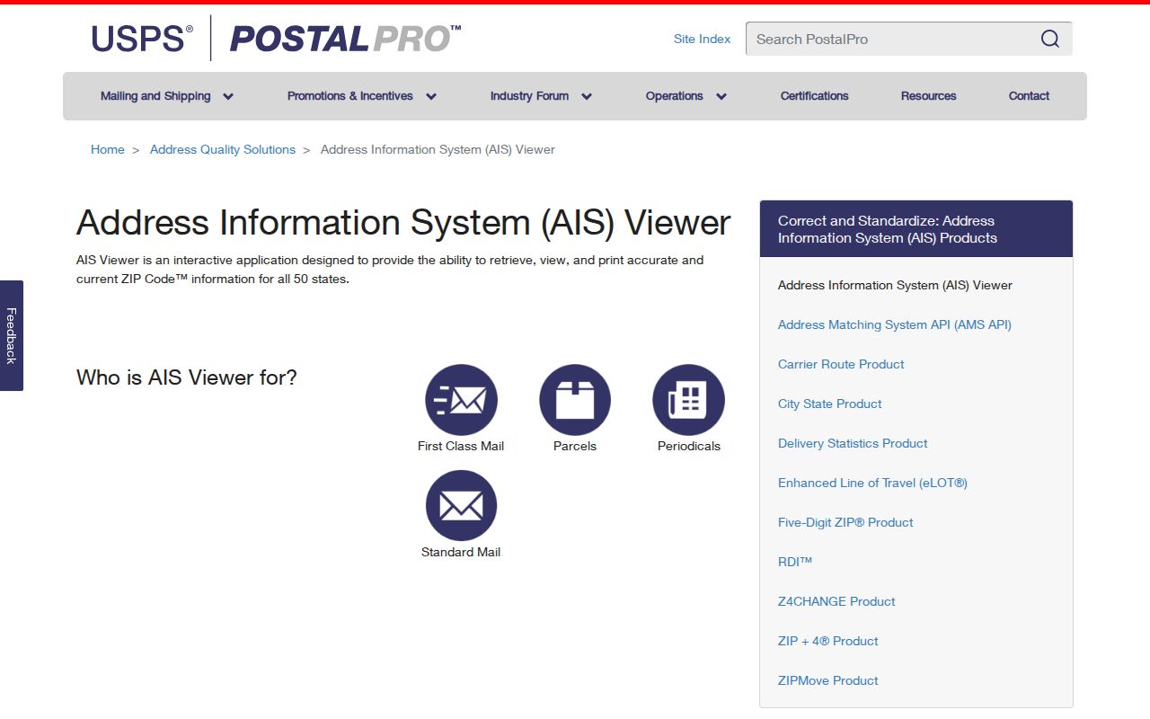
A ZIP+4 can be more precise for delivery than a five-digit ZIP, yet it still describes delivery processing rather than a public claim about an address recipient.
Jersey City ZIP Code Boundaries and City Limits
ZIP boundaries and city limits are separate geographies. A Jersey City street can be associated with a post office or delivery zone whose edges differ from the municipal line, ward, or neighborhood. For an address near a boundary, confirm municipality in the assessor and Hudson County Register systems, confirm delivery formatting with USPS, and keep the results as separate facts. A postal mismatch is a cue to verify, not evidence that a record belongs to another place.
- ZIP versus ZIP+4
- A five-digit ZIP identifies a postal zone; ZIP+4 adds delivery detail, but neither field identifies a household member.
- PO Box ZIP
- A postal designation associated with post-office box service rather than a general street-delivery claim; current scope needs direct USPS verification.
- Unique ZIP
- A designation used for a particular postal purpose or institution when USPS assigns one; do not assume a special local ZIP has that status without current confirmation.
- Carrier route
- A USPS delivery-processing grouping that helps route mail but does not define a neighborhood, parcel, or list of residents.
Jersey City Historical Addresses and ZIP Codes
Older sources should keep their original address language. The JCFPL New Jersey Room reports a complete published Jersey City/Hoboken city-directory run for 1849-1925, along with maps, photographs, manuscript files, and Jersey Journal indexes. A historic directory entry may use a street form, house number, or municipality label that predates the delivery designation used today.
Do not add a modern ZIP to a historical citation as though the publisher printed it. First preserve the directory year, page, printed address, and historical place label. Then, if a current delivery check is useful, label it separately as a modern USPS formatting step. Jersey City records can also use Bergen, Hudson City, or later Jersey City labels, and postal changes do not resolve those historical-geography questions.
Jersey City Special Postal Designations
The special entries in the inventory deserve the most restraint. Research located local or historical references to 07303, 07308, 07395, and 07399, but did not locate official current USPS descriptions of their exact types or delivery scopes. The 07309 station change and 2017 bulletin are useful dated evidence, yet they do not supply a universal answer for an address today.
For a special designation, use USPS directly and state what was checked: the full address, date, result, and whether it was a street or city/state query. If no official result is available, keep the scope as not located in official sources rather than filling it with a neighborhood guess. That is the practical difference between a careful postal directory and a false boundary map.
Jersey City ZIP Code Source Handoff
The correct handoff after a postal check depends on the question. USPS is the authority for delivery formatting. The Jersey City GIS or ZIP map can help visualize city-facing geography, while the Assessor can clarify an address, block, or lot. The Hudson County Register is the custodian for recorded instruments, and the New Jersey Room or State Archives is the better route for historical address context. OPRA can seek a specific local administrative record from the named custodian, but it does not replace postal verification.
Keep a short note with the source, query, record date or update date, field label, and next verification step. That record trail keeps postal research useful without confusing mail-delivery information with evidence about a person.