
Search Jersey City Streets
A useful Jersey City street directory trail moves from an address to a parcel, then from the parcel to a recorded instrument. Start by normalizing the street address with USPS when needed, select Hudson County and Jersey City in TaxRecords-NJ, and retain the block, lot, qualifier, and physical location. Then compare the parcel with the city-linked GIS layer. That comparison prevents a guessed street spelling from becoming a claim about a particular place. The final steps concern records and dates, not a bulk list of people.
- Search the address, owner name, or block-and-lot key in TaxRecords-NJ after selecting Hudson County and Jersey City.
- Record the parcel’s physical location and block/lot, then inspect the city-linked GIS geometry for adjacent aliases or map context.
- Use the block, lot, municipality, or legal description in Hudson Acclaim to locate the recorded deed or related instrument.
- Read the instrument details, including parties, recording date, consideration, legal description, and prior reference before moving backward.
- For a dated household clue, compare the address in the New Jersey Room’s historic directories and map materials rather than treating a current parcel field as history.
That address-to-owner-to-deed chain keeps the Jersey City street directory focused on what each custodian actually records. The assessor supplies assessment context. The Register supplies recorded instruments. A directory or map adds a dated historical layer.
Jersey City Parcel Search Fields
The Jersey City Tax Assessor directs property research to TaxRecords-NJ. Its practical search choices are property location, owner name, and block-and-lot identifiers. A location result can provide a useful starting point, but the city does not promise a fixed live result-field inventory or an online coverage date. Keep the source date with the result and ask the assessor to clarify a parcel match that remains uncertain.
| Search field | Use in a street search | Careful reading |
|---|---|---|
| Property location | Find a current physical-address lead. | Confirm the selected municipality before relying on a match. |
| Owner name | Find a parcel associated with a named owner. | An owner may be an entity, trustee, estate, or agent rather than an occupant. |
| Block and lot | Connect assessment context to maps and legal-description searches. | Retain any qualifier with the block and lot. |
The assessor office is at One Jackson Square, 364 MLK Drive, 3rd Floor, Jersey City, NJ 07305, and lists (201) 547-5131. Online lookup is only one route. The office can clarify assessment or parcel context, while the Register handles the recorded title side of the question.
The assessment search screen shows the location, owner, and block-and-lot choices available for Jersey City parcel research.
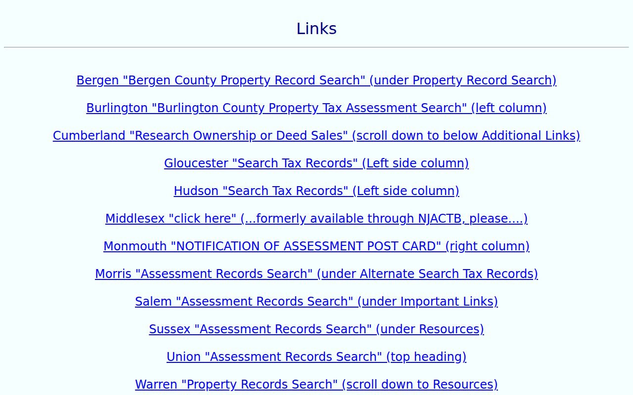
Use the result as a parcel lead, then preserve the municipality and source date before continuing to a deed or map.
Jersey City GIS Parcel Records
The city-linked ArcGIS Parcels layer is valuable for locating the parcel behind a Jersey City street directory query. Its schema includes fields for block, lot, qualifier, location, owner aliases, address, class, tax and sale context, building description, map page, zoning, year built, square footage, type/use, and geometry. The relevant field names include M4_Block, M4_Lot, M4_Qual, M4_Locatio, and M4_Owner_N.
Its maximum response is 2,000 records, so a street-wide request needs a small area or parcel-first approach. The service reported a last data edit of November 14, 2022. That makes the layer useful for orientation and cross-reference, not a current certificate of ownership or address status. Verify a live change with the assessor and, for recorded interests, the Register.
- Parcel
- A mapped unit of real property, commonly identified here by a block, lot, and sometimes a qualifier.
- Situs address
- The physical location of the parcel. It can differ from a mailing address for an owner or party.
- Plat or tax map
- A map that shows parcel lines and identifiers. It helps orient a block but does not prove a household identity.
- Criss-cross directory
- A historical directory organized by address, often used to compare a printed name entry with a street location.
Jersey City Permit Address Queries
Permit records add a distinct address-based layer to a Jersey City street directory search. The city’s permit and development guidance points to its public Tyler EnerGov portal, where the documented search paths are address, record number, and keyword. The guidance recommends shorter strings because historical GIS data can hold abbreviations and variants. Test both 280 Grove St and 280 Grove Street, or 342 MLK Dr and 342 Martin Luther King Jr. Drive.
The city’s instructions show why alternate street forms should be saved with the search date and record number.
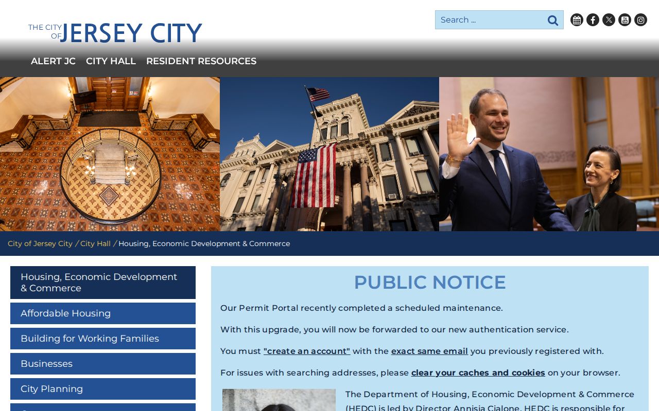
A permit result can establish that a public application, inspection, development, or status record is tied to an address. It may name an owner, contractor, agent, or project party, so the role and record type should stay visible.
The public permit portal is the live route for the address, record-number, and keyword search modes.
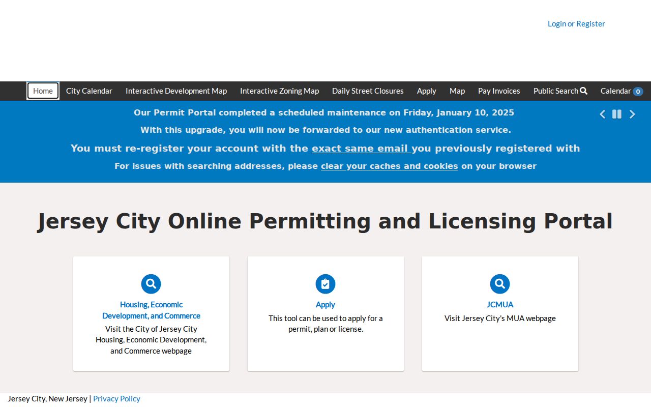
The captured portal screen is an interface reference only. Retain the exact query and date, then use the responsible city department or a discrete OPRA request when the portal does not provide the needed dated record.
Jersey City Street Directory Sources
Street records are strongest when they stay in their own lanes. The assessor answers a parcel and assessment question. GIS places that parcel on a block. Acclaim indexes recorded documents. Permits describe public applications or work. Historical directories and maps provide time-specific context. The coverage below gives a Jersey City street directory researcher a way to choose the next source without merging owner, party, and historic directory roles.
| Address record | Local keeper | What it can show | Access path |
|---|---|---|---|
| Assessment parcel | Jersey City Assessor | Location, owner-name lead, block/lot, class, and assessment context. | TaxRecords-NJ or the assessor office. |
| Parcel geometry | City-linked ArcGIS | Mapped parcel, aliases, select address/owner fields, and related parcel details. | Feature service, with the reported 2022 edit date noted. |
| Recorded instrument | Hudson County Register | Grantor/grantee, legal description, instrument or book/page, type, consideration, and date. | Acclaim or the Register search area. |
| Permit or application | Jersey City HEDC/Planning | Address-linked public application, project, record number, or status context. | Tyler portal, department route, or specific request. |
| Historic directory or map | JCFPL and Library of Congress | Dated address notation, structure, use, or printed household/business clue. | New Jersey Room and collection access. |
Note: A source can associate a record with an address during a period without establishing who currently resides there.
Jersey City Deeds by Street
The Hudson County Register of Deeds and Mortgages is the title route after the parcel is known. Acclaim’s Official Records modes include Name, Book/Page, Instrument Number, Legal Description, Document Type, Consideration, and Record Date. For a street name that has variants, legal description with municipality, block, and lot can be more reliable than a guessed address. Name mode can be repeated for grantor or grantee, initials, punctuation, and entity variants.
Read the resulting instrument one item at a time: party roles, execution and recording dates, instrument or book/page, consideration, legal description, prior-deed reference, and any mortgage, assignment, release, easement, or restriction. Consideration is an index field, not necessarily a market price. A prior reference is a lead to review, not a guarantee of a complete chain.
The Register is at 257 Cornelison Avenue, 2nd Floor, Jersey City, NJ 07302, with a public search area listed from 9 to 2 and customer service at (201) 395-4760. It describes computer and hard-copy indexes for public viewing. Images and details can depend on browser settings, cookies, JavaScript, or popup permissions, so the office route remains useful when an online display fails.
Jersey City Street Names Change
Address forms should be preserved, not silently corrected. A historic directory may use an abbreviated street, a former municipal label, or an earlier number. Search the street with its cross street, old number, block/lot, map sheet, and historical municipality name when the direct match fails. The city’s historic-preservation material traces consolidation of Hudson City, Bergen City, and Jersey City in 1869-70, followed by Greenville’s addition in 1873. Those older place labels can be valid search terms for a dated source.
The Library of Congress Sanborn material and the New Jersey Room can clarify whether a corner, structure, or map sheet is the same physical place. A Sanborn map records building footprint and use, not a person. Preserve the printed form alongside a normalized current form, then state why the records appear to concern the same parcel.
Jersey City Street Directory History
For historical address work, the New Jersey Room holds directories, maps, newspapers, photographs, manuscripts, and vertical files for Jersey City and Hudson County. Its published Jersey City/Hoboken directory core runs from 1849 to 1925. First locate the address in a reverse or criss-cross index, copy the name as printed, then compare the direct directory entry and the next available edition. A nearby cross street can help when numbering changes.
Pair that printed entry with a dated map, newspaper image, or recorded instrument. The New Jersey Room is on the third floor of the Priscilla Gardner Main Library, and it lists research help by phone and email. For a household question rather than a whole street, the historical collections are handled in more detail through the Jersey City city directories.
Jersey City Street Record Access
Online is not the only access channel. Use TaxRecords-NJ and city-linked maps for a current parcel lead, Acclaim for recorded-document searching, and the Tyler portal for permit context. The assessor can be reached by phone for an unclear parcel; the Register has both its search area and customer-service route. The New Jersey Room is the main channel for old directories, maps, and newspaper context. For a discrete inaccessible city or county record, identify the custodian, address or instrument number, date range, and record category in an OPRA request.
New Jersey OPRA requires a written request to the actual custodian. The Government Records Council FAQ states an ordinary response is due as soon as possible and no later than seven business days, subject to exceptions. A request for a specific permit, map, or assessment record is more workable than an open-ended request about a person.
Limits on Jersey City Street Records
A Jersey City street directory cannot turn address records into a current household list. A parcel owner, grantor, grantee, contractor, or historic directory name has a role in a source. Mailing and situs addresses can differ. The GIS layer may lag the live systems. USPS confirms delivery formatting, not the presence of a named person. Voter materials have statutory access and use conditions, and original registration forms are restricted. Protected-address programs can lawfully remove an expected address from public view.
New Jersey’s Address Confidentiality Program can provide substitute addresses for qualifying participants, and Daniel’s Law supports certain address redactions. When a record is missing or incomplete, use the listed custodian route rather than trying to infer protected information.